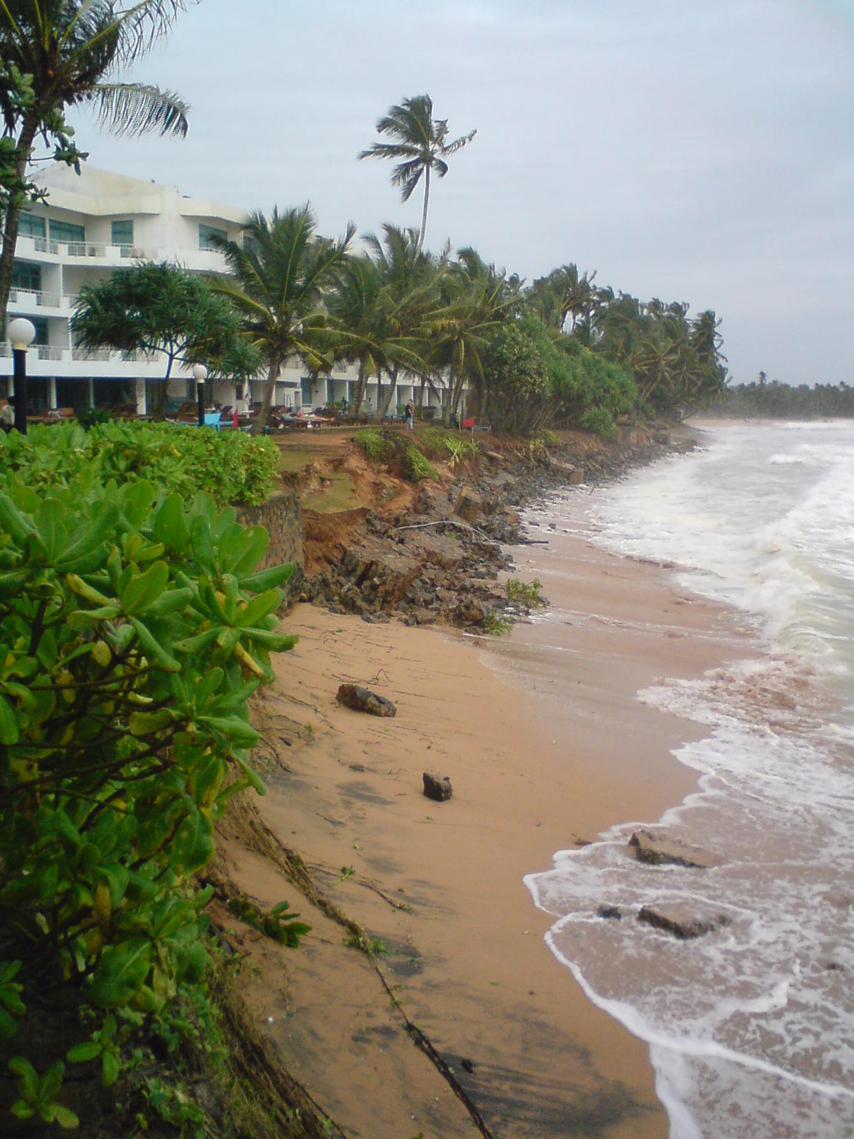
Over 600 acres of land in the Kakinada suburbs have disappeared in the last four decades because of sea erosion. Residents of villages such as Uppada, Komaragiri, Subbam Peta and surrounding areas in the Kothapally mandal are deeply worried at the continuing erosion of the coastline. Successive governments have taken no permanent measures to avert sea erosion. Komaragiri lost 349.29 acres of land to the sea, Uppada 126.58 acres and Subbumpeta 129.48 acres along with other villages. Uppada and nearby villages also suffer heavily whenever cyclones and storms occur. In the recent cyclone, tidal waves destroyed 1,200 houses including pucca buildings. It is mostly fisherfolk and small farmers who are affected by the vagaries of weather. A study conducted in 1992 by the Central Water Power Research Station of Pune revealed that the Hope Island which was formed near Kakinada with was responsible for the continuing sea erosion. The island is blocking the natural movement of waves and this is causing sea erosion. However, it was the same island which saved Kakinada from the Tsunami attack. The survey also revealed that the construction of a fishing harbour at Vakalapudi and berths in Kakinada deep water port had also contributed to the sea erosion. The 50 km coastal road from Kakinada to Addaripeta too has been affected by the phenomenon and has been repaired about 18 times. "Construction of a strong concrete wall is the only solution to this,' said Mr Rao Chinna Rao, president of the Kothapalli Water Users Association. Leaders of the fishing community including Mr Bandana Ram Babu echoed the views. "We repaired the bunds in 2007 but the erosion continues,' said Mr C. N. Murty, executive engineer of the Kakinada roads and buildings department.

